Prehistoric Village – Tracing How We Were
Become an archaeologist for a day! Families and kids create clay artifacts, hide them, and discover them together in a real mock excavation, learning teamwork while having fun with history. A unique and engaging experience!
Symbol
Yellow Pin
Duration
2 hours
Suitable for
Children and teenagers Families
Description
The experience we can have in this context involves participating in a sort of game/workshop called “The Cheerful Archaeologist.” This cultural activity is family-friendly, allowing parents and children to recreate small archaeological artifacts from the Middle Bronze Age together, working with clay or Das (a moldable paste that hardens in air). To ensure the fake artifacts are as realistic as possible, photos of actual small-sized artifacts found on-site will be provided. Once completed, previously made fake artifacts (or the newly created one if hardened) will be buried underground by the parents.
Next, the activity includes a mini archaeological dig where children, equipped with small shovels, picks, trowels, brushes, and buckets (all made strictly from recycled plastic or biodegradable materials), must uncover the fake artifact with their parents’ help, buried in a specially marked area. Through this playful approach, children will learn about one of the most important phases of archaeological work—not just discovery but also collaboration, research, advice, and teamwork, which are crucial in this field—all while engaging with their parents.
Highlights
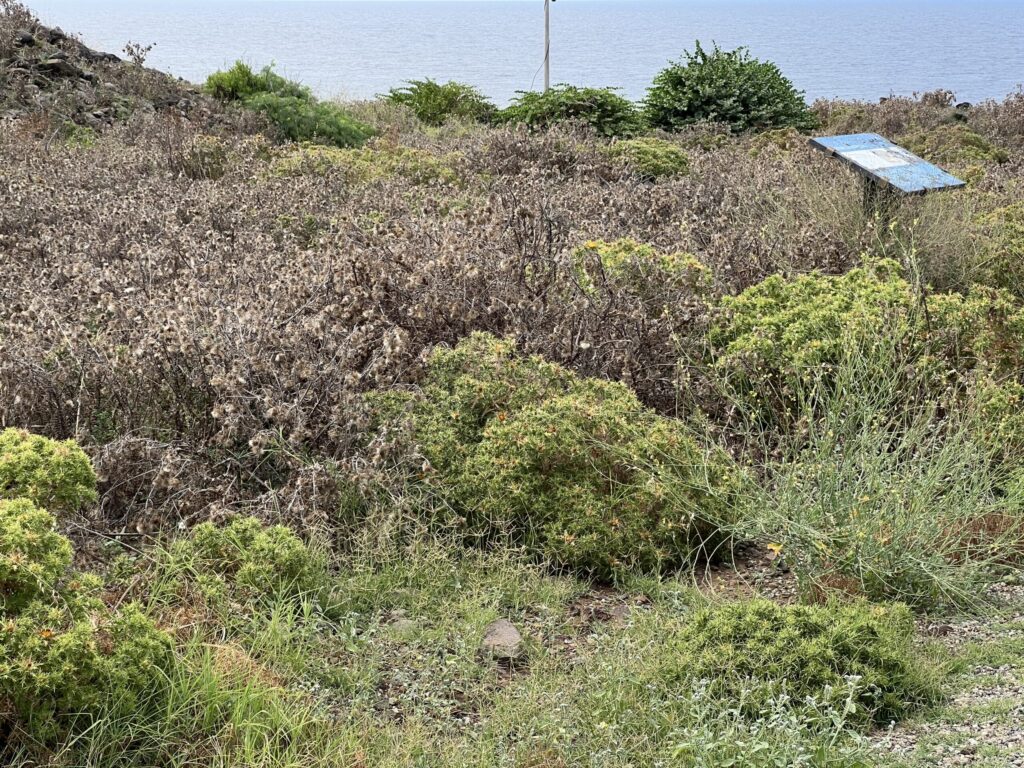
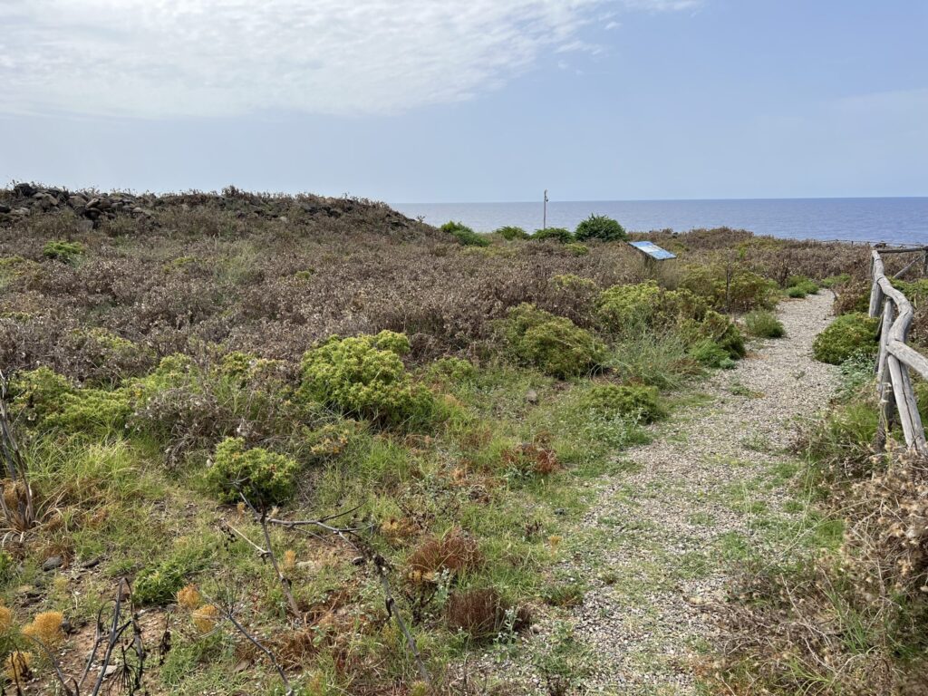
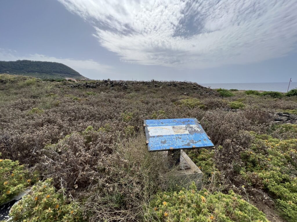
The Sicano Prehistoric Village of the Faraglioni (so named for the presence of the offshore rocks called Faraglioni) is located in the Tramontana district, on the coastal edge of the Monte Guardia di Mezzo caldera.
To reach it, simply follow the Tramontana trail, which starts about a hundred meters past the municipal building in a northwest direction.
The settlement dates back to the Middle Bronze Age (1,400–1,200 BC) and is one of the most important prehistoric complexes in the entire Mediterranean basin, distinguished by its intricate “proto-urban” layout, which is particularly unique in Europe. The site owes its discovery to the priest Father Carmelo Seminara and archaeologist Giovanni Mannino, who in 1974 halted construction work for a tourist village after the priest recognized archaeological artifacts uncovered during excavation. Since then, management has been overseen by the Superintendency of Environmental and Cultural Heritage of Palermo (now entrusted to the Archaeological Park of Himera, Solunto, and Iato of the Sicilian Region), which has conducted multiple excavations revealing much of the village as it once was. However, its appearance and morphology have been significantly altered by coastal erosion and subsidence, likely triggered by earthquakes and/or tsunamis during the village’s active period, forcing its inhabitants to abandon the site abruptly around 1250–1200 BC.
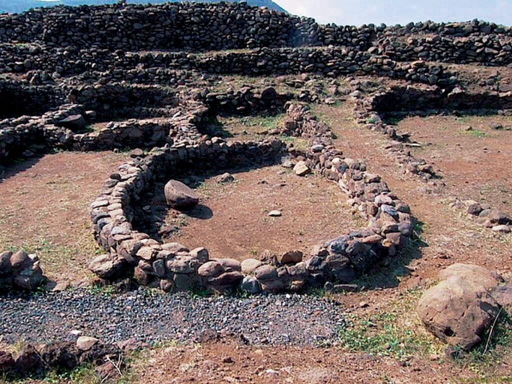
What stands out immediately is the imposing defensive structure. The outer fortification encloses an area of about 7,000 square meters, though the village’s original extent was likely larger. The preserved section of the wall stretches 250 meters long, with a base width of about 6 meters tapering to 2.5–3 meters at the top. Its current height varies between 2–3 meters due to extensive modifications. The massive defensive work features a sloping masonry base (wider and inclined) and a double curtain wall—composed of two layers of lava stone blocks—filled internally with rubble and stone fragments.
A series of semicircular towers/buttresses, built with larger stones and attached to the outer wall, punctuate the façade at regular intervals. Thirteen are counted starting from the southern side, with only one aligned with the perimeter wall. It is plausible that these buttresses were added later to reinforce the structure against potential collapses.
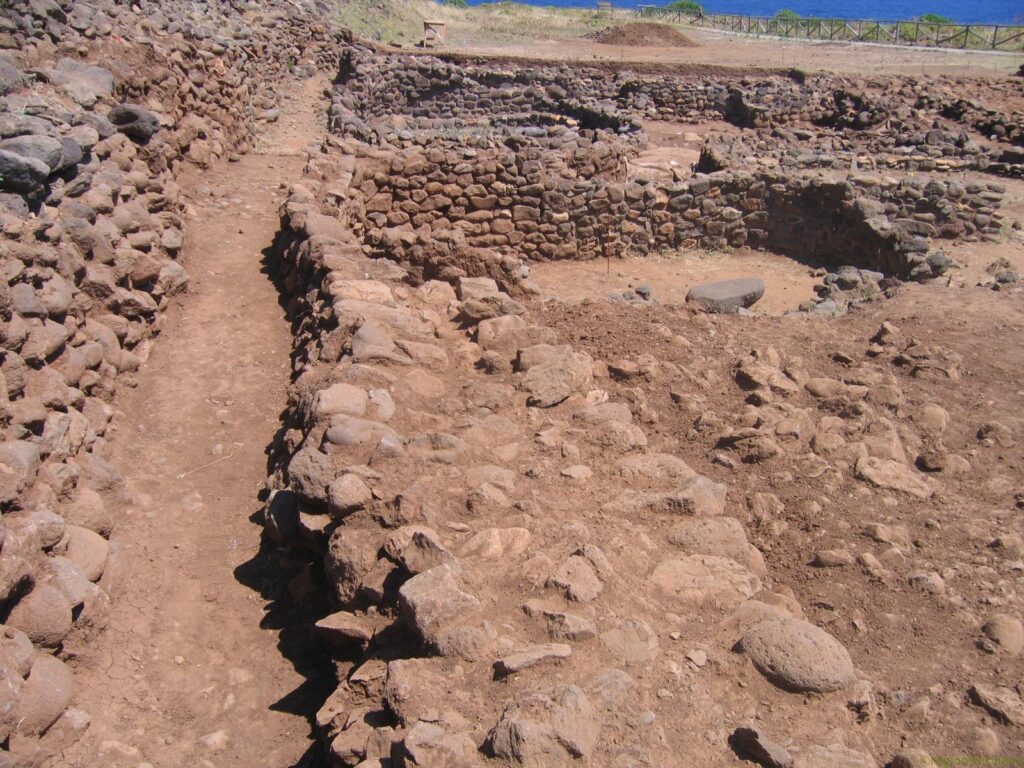
Beyond the defensive wall, the interior reveals an exceptionally complex arrangement of standing walls. Excavations since the early 1970s have uncovered a preplanned “urban” layout, echoing contemporary sites in eastern Sicily (such as Thapsos), influenced by Mycenaean culture. The huts in the western lower area, clustered together and built entirely of local stone, are mostly subcircular or nearly quadrangular with rounded corners, arranged around open spaces. The roofing method remains uncertain—no postholes have been found to confirm theories—but it likely consisted of oleaster branches topped with woven straw bundles for coverage.
Most excavated rooms flank a northwest-southeast road about one meter wide, with floors made of packed earth or marine pebbles. Internal benches are clearly visible inside the huts, many of which also feature large grinding stones left in place with their hand mills, still well-preserved in several units. The eastern sector, built at a slightly higher elevation, has huts arranged around a shared courtyard. Some include benches, while all contain a large quadripartite terracotta slab, presumably used for cooking.
Stratigraphically intriguing is the “D”-shaped adaptation of some huts, altered to accommodate a later roadway during the village’s final phase. The abrupt abandonment around 1250–1200 BC may explain the high volume of ceramic artifacts and household items found—evidence of a hurried evacuation, possibly due to sudden natural disasters.
Artifacts suggest a subsistence economy based on agriculture, fishing, herding, and specialized crafts like metallurgy. Dominant among the pottery are tall-footed cups—deep, trumpet-stemmed bowls with decorative handles—some over 50 cm wide, likely used for communal meals. Other common forms include jugs, small amphorae, storage jars, pots, and pans. Circular ceramic tokens, repurposed from broken pottery, may have served as accounting tools for trade, echoing Near Eastern practices.
Analyzed obsidian tools trace origins to Lipari and Pantelleria, with minor fragments linked to Palmarola and Sardinia’s Monte Arci, confirming Ustica’s role in Tyrrhenian trade routes. In 2016, an archaeoastronomy conference proposed the village as a giant calendar, where solstice alignments with local peaks marked the return of light and planting seasons. Finally, 2023 surveys by INGV revealed the village extended beyond its defensive walls.
Recommended clothing
We recommend: comfortable shoes, comfortable clothing, and a hat
Important Notes
One of the most important Middle Bronze Age villages in the Mediterranean.
Also accessible for those with mobility issues.
Itinerary Data
Recommended Period
from June to September
Time: Between 3:00 PM and 6:00 PM