Tramontana Itinerary – Between Nature and Culture
Archaeological and geological itinerary. The carriage road, restored with volcanic stone by the Sicily Region, runs along the entire northern coastline of the island.
Symbol
Little Orange Square
Distance
3 km
Elevation difference
20 meters. Simple
Width
3 meters long, 0.70 meters wide.
Trail bottom conditions
Suitable for
Adults All Children and teenagers Families
Description
A scenic, geological, and archaeological itinerary crossing the island, starting from the old confinement gendarmerie built in tuff stone, located about 100 meters from the town hall square. From here, you move to the nearby entrance of the Tramontana trail. The cobbled path runs along the entire northern part of the island, passing by the cemetery with its adjacent namesake cove and then encountering the magnificent Faraglioni rocks, opposite the most important Sicanian village in the Mediterranean dating back to the Middle Bronze Age.
Highlights
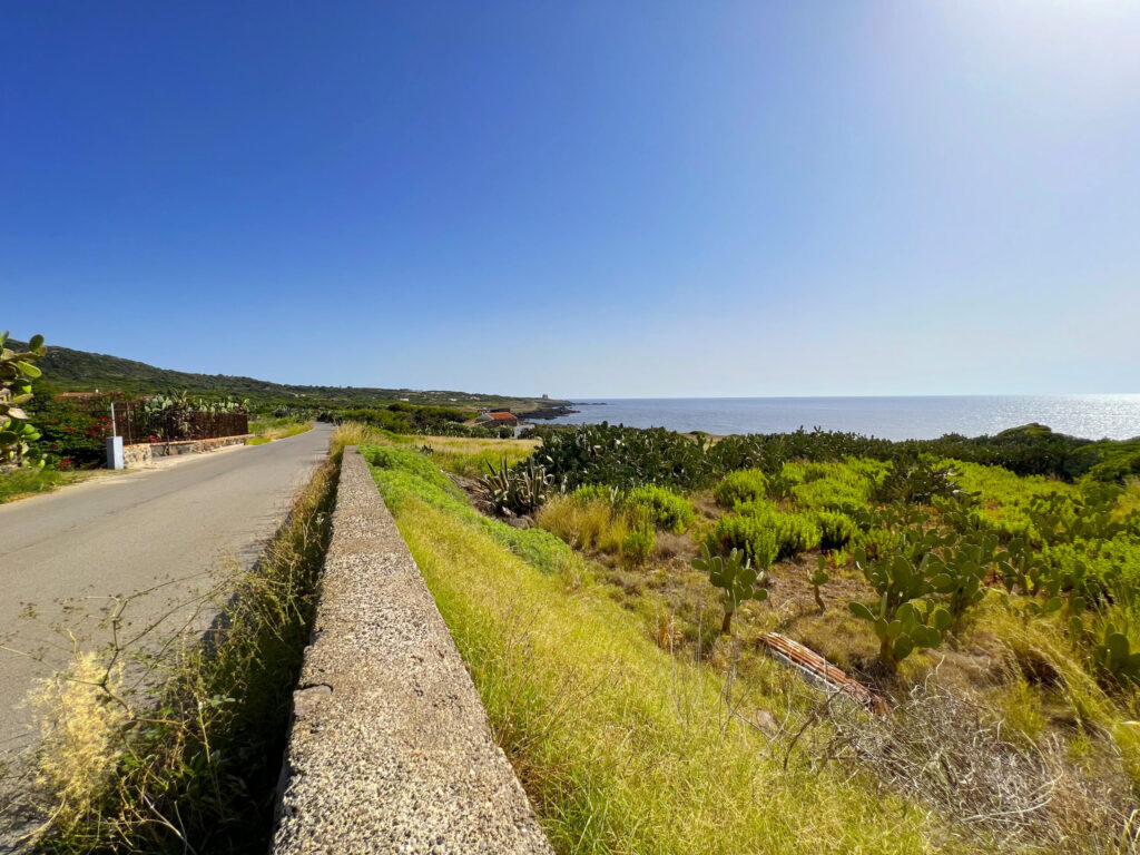
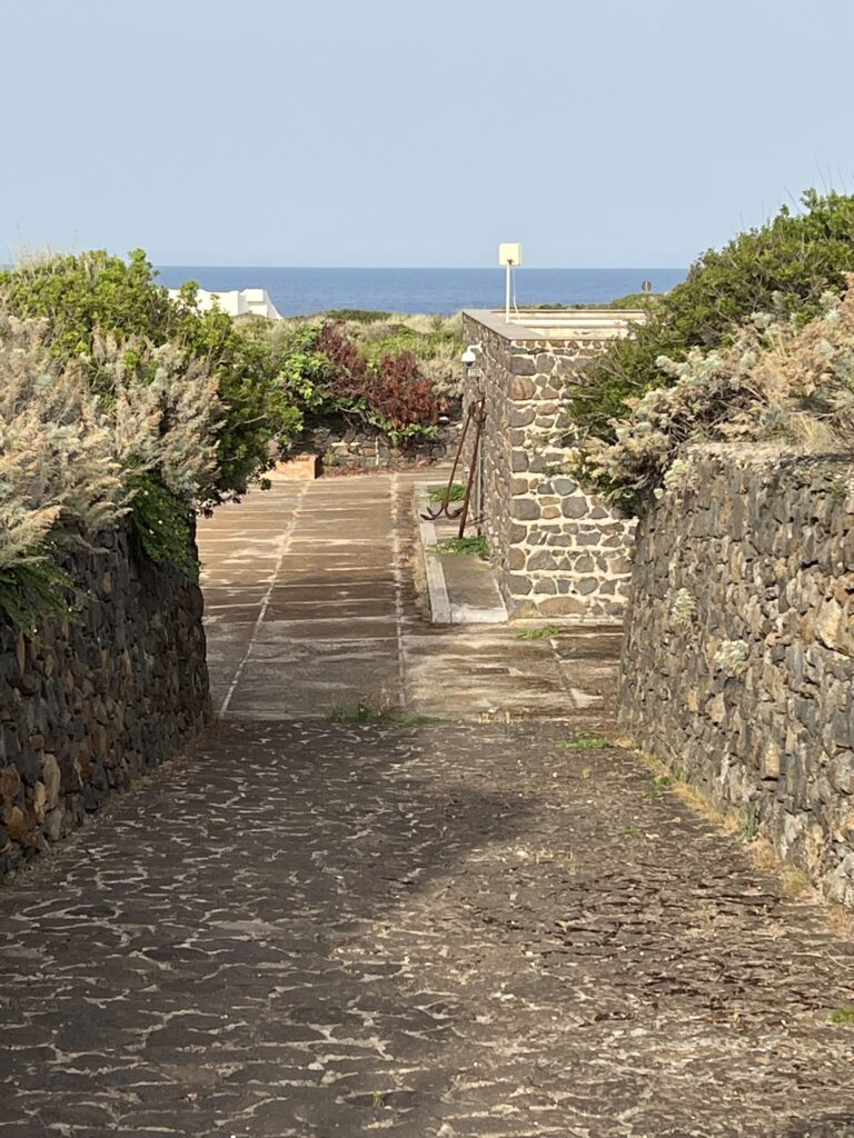
The path begins near the current Town Hall and runs along Via Petriera heading north.
The road forks at a small, recently restored building—nothing more than one of the huts used as a boundary for prisoners during the Ustica “colony” era. The right-hand wall along the road bears a marble plaque commemorating the visit of King Vittorio Emanuele III and Queen Elena, who landed on the island on May 13, 1906.
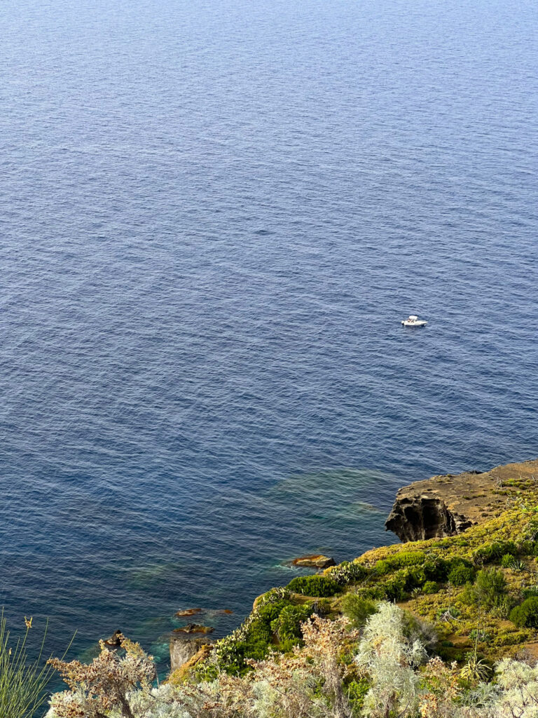
The route winds along the coast with a stunning view of Cala Giacone. Its vertical cliffs precede a stone shrine dedicated to the Virgin Mary, built in the 19th century by a local islander and located where a watchtower once stood. A little further on, a white facade marks the cemetery, constructed in 1843, which houses an Arab burial ground containing the remains of Libyan deportees who died in the island colony between 1911 and 1913. Beneath the structure lies the island’s second dock, aptly named “Cemetery Pier” in memory of those who passed.
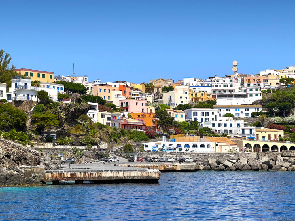
Its concrete dock welcomes ferry boats twice a week, allowing larger, heavier vehicles access to the island. If you’ve disembarked at the main port in Cala Santa Maria, you’ll understand why. Cemetery Pier also provides ships a docking option when southern winds make mooring at the main port impossible.
The path continues with the gaze turned toward the coastline where a rock formation called Scoglio del Sacramento stands out.
The rock is composed of hundreds of lava pillows adorned with the typical Ustica plant, Limonium bocconei, an endemic species belonging to the Plumbaginaceae family that blooms between June and August, displaying beautiful lilac flowers. The rock formation, a dike, reaches a height of over twelve meters and has the classic pointed shape of church facades. A dike is a rock formation created by the penetration of magma into cracks and cavities of surrounding rocks and its subsequent solidification.
Scoglio del Sacramento is a dike formed during the continuous and calm effusive eruptions that occurred while magma fueled the activity of the Tramontana caldera in a phase following the massive eruption that happened four hundred twenty thousand years ago.
Continuing along the path, the trail gifts us the romantic view of the Faraglioni, two captivating sea stacks detached from the northernmost tip of the island; the outermost rock, more exposed to the sea, contains several cavities within it, one of which forms a small cave.
One of the cliffs offers the boldest visitors a chance to climb; at the summit, about twenty meters up, you might discover small ceramic fragments dating back to periods of habitation at the ancient prehistoric settlement, located directly opposite above the high cliff. This settlement, dating to the Middle Bronze Age (1400-1200 BC), represents the largest fortified village of that era identifiable in the Mediterranean region. The Faraglioni themselves most likely represent the still-standing remnants of the ancient geological upheaval that caused the sudden abandonment of the inhabited area by its residents.
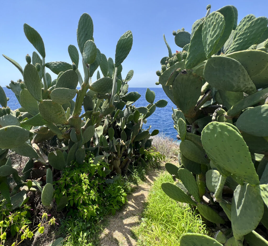
The path runs alongside the entire village until it meets, on the left, a road built with volcanic stone that connects to the modern asphalt of the municipal roadway; continuing then to the right, the path becomes unpaved and plunges into the vegetation.
After passing the prehistoric village, we find ourselves at Punticedda, a large barren area ending in a wide cliff with descending steps leading to various rustic bathing spots, characterized mainly by rocks and small concrete staircases useful for facilitating the descent to the sea.
A particular pointed crevice, the northernmost tip of Ustica, appears to be the origin of the modern place name denoting this beautiful cliff.
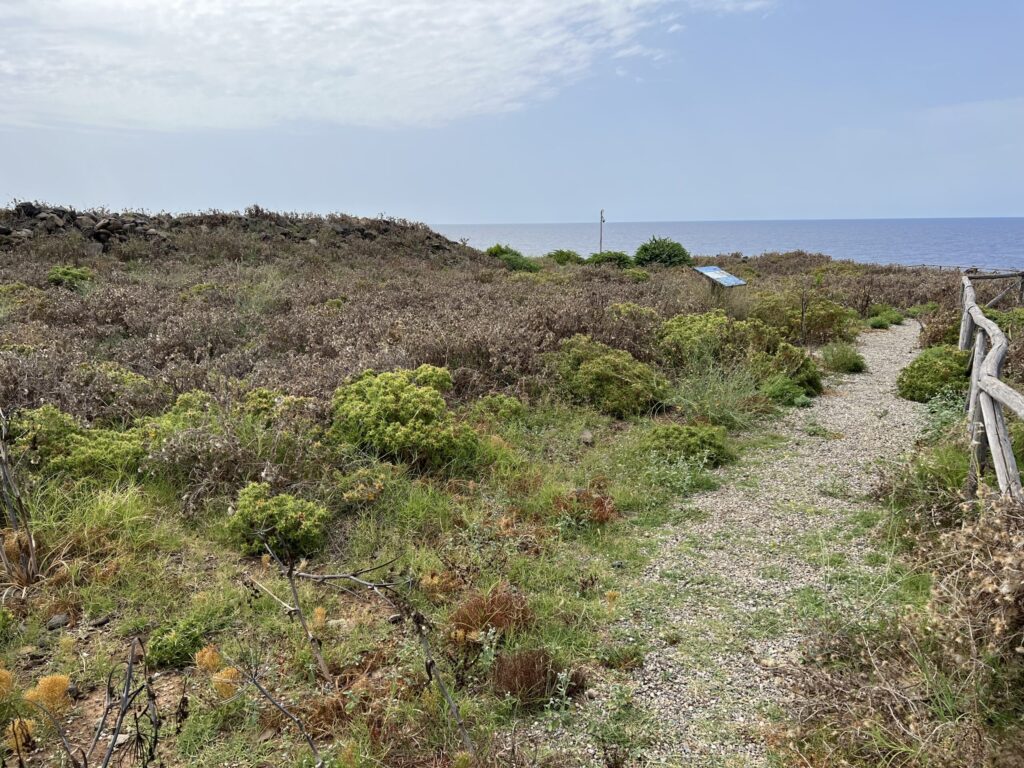
The trail continues changing its appearance until reaching the Gorgo Salato, a seasonal pond of immense conservation value, serving as a crucial refuge for both migratory and resident wildlife, including the last remaining specimens of the Emerald Toad.
The origin of its name is inextricably linked to its proximity to the sea; during severe storms, countless salty sprays contribute to filling the large basin, mixing with the existing freshwater from rainfall in the reservoir. The surrounding area is remarkably rich in yielding ceramic fragments, likely originating from a nearby late-antique Roman farmstead.
The final stretch can only be traveled on foot and continues along the stunning coastal ridge, leading to Cala del Passo della Madonna. During the ascent, a wooden railing guides you toward the trail exit, located along the municipal road that circles the island. At the end of the loop, just a few meters from the asphalt, you’ll spot the small yet charming white chapel of the Madonnina della Croce straight ahead. This sacred structure gives its name to the island’s famous pass.
Recommended clothing
hiking boots, comfortable athletic clothing, long pants, a water bottle, and a cap
Important Notes
The Gorgo Salato is a great place for birdwatching.
Itinerary Data
Recommended Period
from May to October
Time: From 4:00 PM to 6:00 PM