Underwater itinerary – Discovering marine wonders
Ustica's underwater trail offers nine spectacular snorkeling spots in the Marine Protected Area, Italy's first marine reserve, rich in biodiversity and pristine seabeds.
Symbol
Swimming Pool Toy
Duration
1 hour
Suitable for
Adults Children and teenagers Families
Description
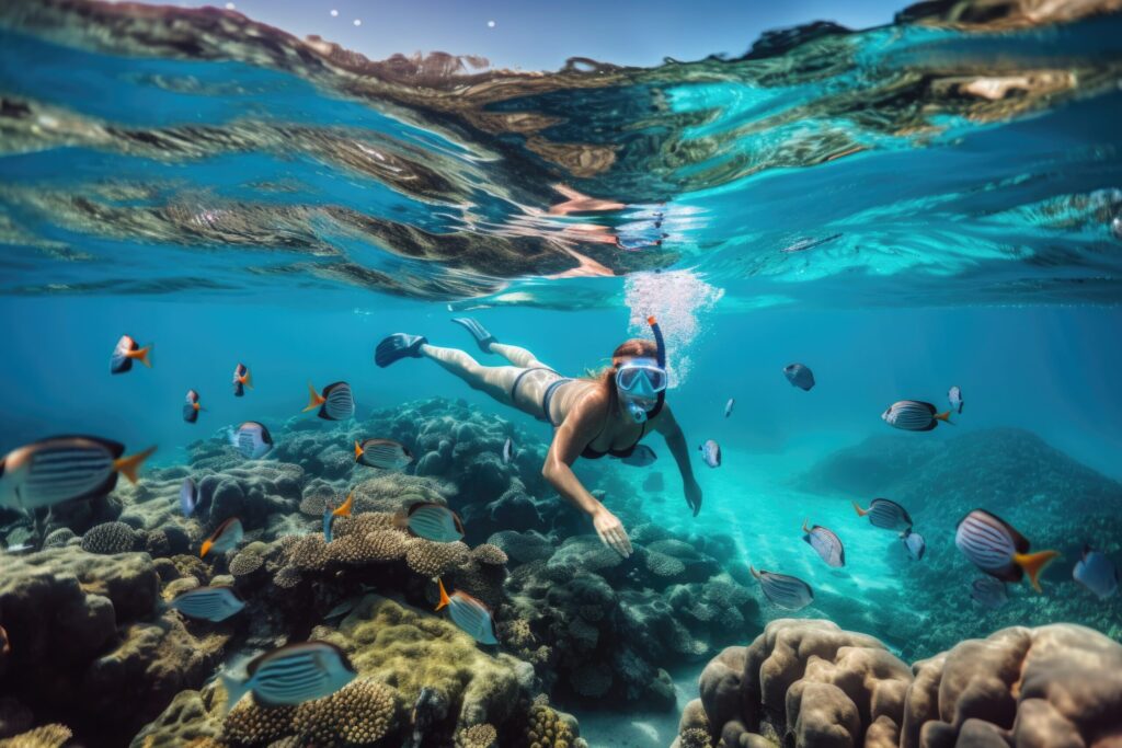
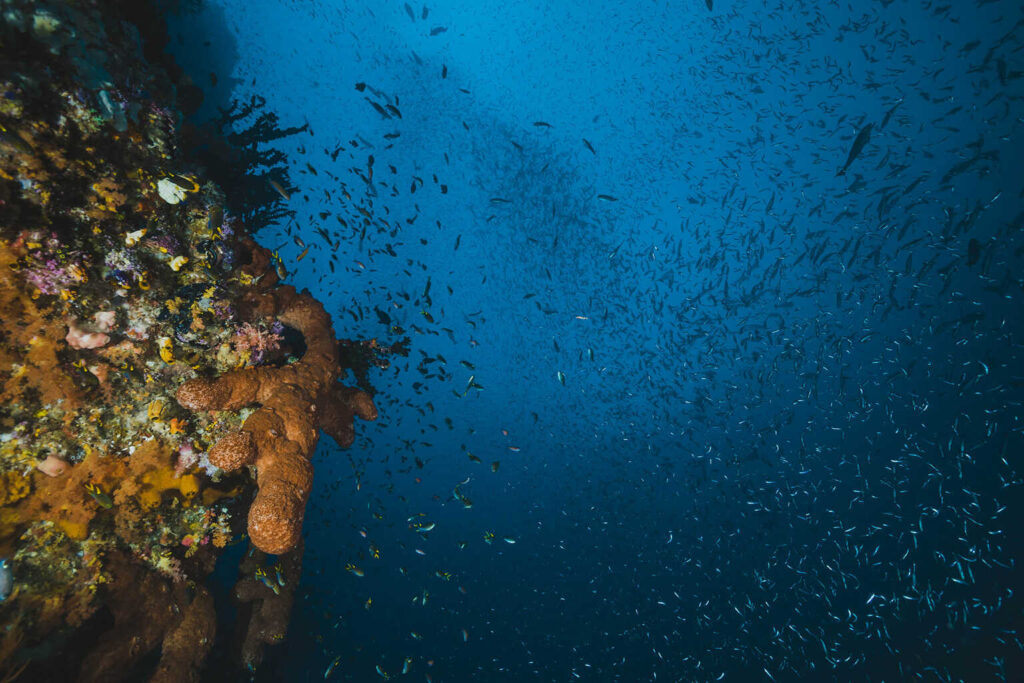
Snorkeling activities can be enjoyed in various locations along the coast of the Ustica Island Marine Protected Area, Italy’s first marine reserve, where you can immerse yourself while staying at the water’s surface, equipped with just a mask. You’ll encounter diverse species thriving in this unique habitat, witnessing the beneficial effects of protecting its flora and fauna.
There are nine main snorkeling spots on the island: Cala Santa Maria, Punticedda, Scogli Piatti, Cala Sidoti, Caletta Santoro (formerly Acquario), Molo, Anfiteatro, Faro Punta Cavazzi, Piscina Naturale, Punta Galera, and Cala San Paolo.
A worthwhile recommendation for all coves is to wear water shoes if walking over sharp rocks or broken shells and to carry cortisone cream in case of contact with jellyfish or sea anemones. The latter are particularly abundant along the coastal stretch from Punticedda to Faro Punta Cavazzi.
Highlights
It hosts the docks for fishing vessels and passenger transport boats. The bay below the town features a small beach made of fine basalt pebbles (a characteristic common to all similar small beaches on the island). Around it, you can find various services like a fuel station, dive shops, A.R.A. refills, bars, as well as water and electricity supplies for boats. However, swimming is only possible at its far upper edges—either in the area below the fishermen’s village, where a small path leads to the facing cliffs, or on the opposite side near the dock, which provides access to the neighboring cliffs located 200 meters from the Blue Grotto. Both spots have depths exceeding 4 meters. The fish species range from damselfish to passing saddled seabream.
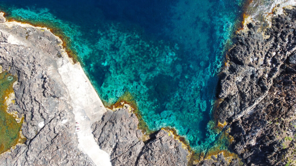
This scenic spot is located within Zone “B” of the Marine Protected Area and is reachable just a couple of kilometers from the town center. Access is via two routes leading to the island’s northern coast: the paved Tramontana road and the Tramontana trail that runs along the shoreline.
The swimming area sits at Ustica’s northernmost point, framed by the prehistoric village above and the nearby Faraglioni rock formations.
The rocky terrain, slightly challenging for more delicate swimmers, is accessible via three small concrete staircases. The seabed drops off quickly—depths range from 6 to 16 feet. You’ll spot bream, bogas, damselfish, starfish, and sea urchins. The spot is rarely crowded, perfect for those seeking tranquility.
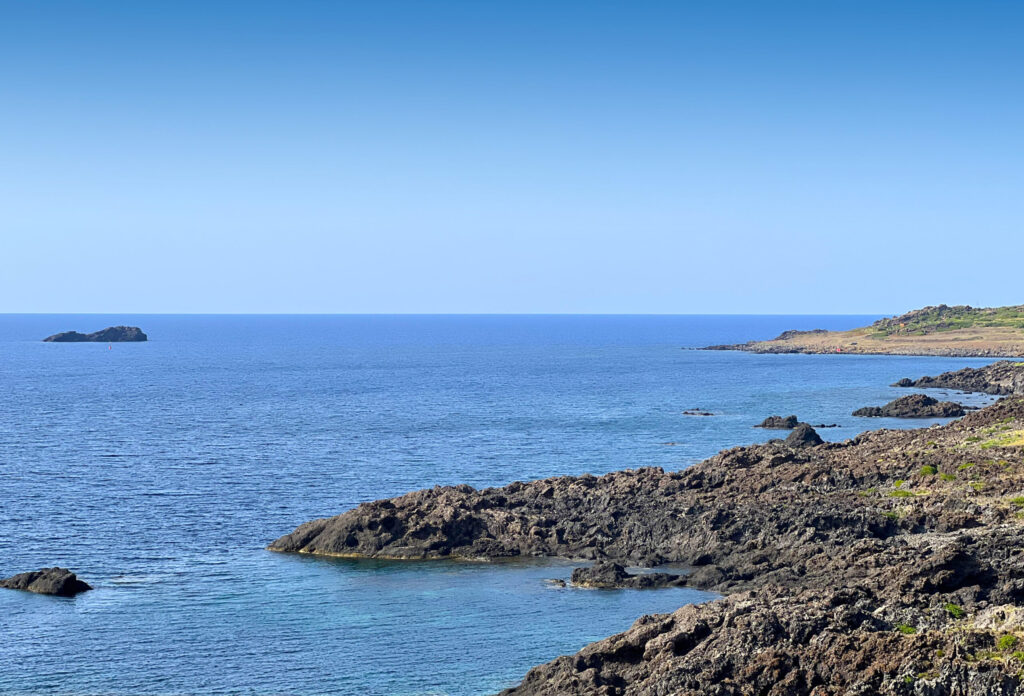
Continuing along the west side of the island, after about 2 kilometers, we find the “Scogli Piatti” (Flat Rocks), a stretch of coastline accessible only by land as it falls within the “A” zone of the Marine Protected Area’s strict reserve.
From the municipal road, you’ll find a turnoff marked by an unpaved path about 100 meters long, not ideal for low-clearance cars. The coastal route is lined with hundreds of flat-shaped rocks, and you can choose whichever cove suits you best to lay out your towel.
The water is very shallow and slopes gently, but once you’re in, the protected area lets you admire its beauty—among the marine flora and fauna, you might even spot orange-brown nudibranchs mating.
A little further along, adjacent to the road, “Cala Sidoti” is easily accessible on foot by descending about ten large steps carved into the rock. Black sand and pebbles greet visitors within this area, which is also part of Zone “A”—the strictest reserve of the Marine Protected Area.
Since it’s a beach-like spot within a natural reserve, it’s essential to bring everything needed for a relaxing day by the sea. Cala Sidoti is one of the most popular spots on the island and can be reached not only via the local road but also from the northern coastal trail heading west from the aforementioned Punticedda. This enchanting cove features a “beach” of dark pebbles stretching about two hundred meters.
The water is shallow and crystal clear—perfect for snorkeling. The rocky cliff behind adds variety and dynamism to the backdrop, also providing refreshing shade on the left side. Ideal for families and children.
This spot is the best place to observe most of the shallow-water flora and fauna in Zone A of the Marine Protected Area. However, be cautious—the shallow seabed is full of stinging anemones.
Located about 900 meters from Cala Sidoti, this area also falls within the full protection zone of the Marine Protected Area. It’s characterized by shallow waters and pristine sea conditions. Well sheltered from rough seas, it’s particularly suitable for children. The rock formation offshore hosts several small groupers weighing up to 2 kg.
A short distance away, there’s a small concrete ledge perfect for diving due to the deep water and the pier’s two-meter height. It’s located facing the Bourbon Tower of Spalmatore, just past the protected area and specifically in zone “B” of the Marine Protected Area where fishing permits are allowed.
The spot offers views of various fish like saddled seabream, damselfish, wrasse, and recently even parrotfish. Additionally, the seabed features extensive seagrass meadows.
About 800 meters away, still within zone “B” of the “Punta Cavazzi” Marine Protected Area, lies a stretch of coastline dominated by the island’s second lighthouse.
Nearby, there’s a concrete platform that allows for easy access to the water, where you can wade in up to chest height right away—perfect for peaceful swims among hundreds of marine inhabitants.
The surrounding area is equipped with rental sunbeds and lounge chairs, and if hunger strikes, there’s even a refreshment spot right on-site. The marine life sightings here mirror those in other zones, but several octopuses have also been spotted tucked into crevices in the shallow seabed.
Leaning against the lighthouse, stepping back from the path, you can descend to this small rocky cove through two upper access points. It’s a little coastal embrace for lovers of rustic spots, nearly as wide as a soccer field. The water drops quickly to depths of 2 to 5 meters with seabeds worth exploring, especially for spotting small fish.
It’s located right next to Punta Cavazzi lighthouse. Here, the small body of water surrounded by rocks is connected to the open sea through an underwater tunnel.
This particularly fascinating marine setting can only be reached after descending about thirty meters via steps interspersed with rocks. The descent is slightly challenging, but the spectacle awaiting you is worth it.
The water is immediately deep, with depths of about 10-13 feet in an area approximately 50 feet wide. Regarding marine life: it’s interesting to note that for about ten years now, sea hares have been present here, having traveled many miles to reach Ustica through the Suez Canal.
Continuing always counterclockwise for about 3 kilometers in the southern part of the island, you’ll find “Punta Galera,” one of the few coves accessible via the Mezzogiorno trail, although the final stretch is quite challenging. The inlet is located on the south side of the island, within the “Zone C” of the Marine Protected Area, where fishing permits are available even for tourists.
The entrance is immediately steep, and the seabed gradually descends, starting right away from about 10 feet deep. The underwater scenery is fascinating, with seagrass meadows, groupers, sea urchins, and various small fish.
Half a mile away, we’ll find a now-dilapidated staircase near the Diana Hotel that will lead us to this wide cove with black rocks and steeply descending seabeds. The water reveals a palette of colors with soft blues and enchanting depths. It’s definitely a great spot for snorkeling, also featuring the charming Boat Cave located just a few meters to the left of the water entrance.
The area is home to various groupers, breams, and starfish.
Recommended clothing
costume, snorkel mask, beach towel, and water shoes (for those who want to stay in the water longer or are particularly sensitive to the cold, a wetsuit is recommended)
Important Notes
Not all marine areas are suitable for swimming due to the protected zones of the Marine Protected Area.
Itinerary Data
Recommended Period
from June to September
Time: Between 3:00 PM and 6:00 PM